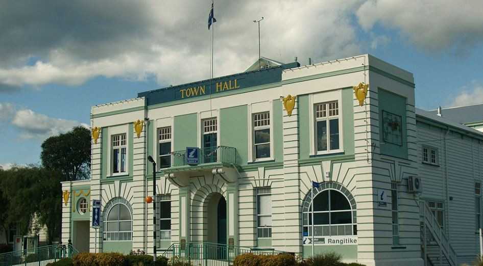
Taihape
Taihape is located near the middle of the North Island in the Rangitikei District of New Zealand. It services a large rural community and lies on State Highway 1, which runs North to South through the centre of the North Island.
Economy.
Taihape is a rural supply town and was at its peak during the 1960s when it was a railway and transport hub for the surrounding farming community. Much of its economic activity revolved around the railway and rural communities.
A major decline occurred in the 1980s due to a restructure and electrification of the railway system and a general downturn in the farming sector.
In recent years with the advent of major tourist attractions Taihape is now experiencing an upturn in local commerce. Its location on the North Island Main Trunk railway and on State Highway 1 has ensured its economic survival. Taihape's main claim to fame is as the "Gumboot Capital of the World", and it attracts large numbers of people to the annual gumboot-throwing contest.
Geography.
Taihape is near the confluence of the Hautapu and Rangitikei rivers about 500 m (1500 ft) above sea level. It lies in a sheltered valley among the high country of the central North Island, close to the Rangitikei River and the Ruahine Ranges. Despite its transport links.
Few towns in New Zealand have a steeper street profile, which provides spectacular views across to the Ruahine Ranges. It is surrounded by fertile high country utilised for sheep and deer farming. Its location close to the mountains, rivers and lakes has made it ideal as a service point for hunting and outdoor tourism. The town is at the southern edge of the volcanic plateau.
Climate
Taihape's climate is temperate. There is significant rainfall throughout the year in Taihape. According to the Köppen climate classification, this climate is classified as oceanic climate (Cfb). The average annual temperature is 11.5 °C and about 953 mm of precipitation falls annually
History.
The Taihape region was originally inhabited by local Maori tribes who settled the area well before the arrival of Europeans; descendants of these tribes still live in the area. The first record of a European to the region is William Colenso's visit in 1845. In 1884, the surveyor's party for the Main Trunk railway line cut a rough track through the district.
The town was founded in 1894, when European settlers arrived from Canterbury in the South Island. The site of the town was a small natural clearing in dense native bush, which the first settlers set about clearing. Many of the original families have descendants still living in the area. The settlement was first called Hautapu after the local river, then Otaihape ("the place of Tai the Hunchback"), and finally Taihape.
Before the establishment of the railway, the bulk of farming produce (wool) had to be transported east by horse and bullock cart to Napier, from where it was exported. Until the establishment of roads and railways in the early 1900s, Taihape, like other rural towns, remained largely an isolated pioneer settlement. It developed as a key railway and transport town, reaching its peak of population and activity during the heyday of the 1950s and 1960s.
The town declined during the downturn of the 1980s and today it is largely a refreshment stop for travellers and a service point for the local farming community.
In 2005 Taihape's primary and secondary schools amalgamated to form Taihape Area School due to the declining numbers of students in both schools